
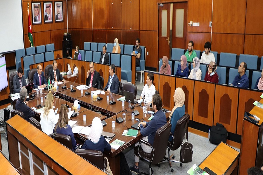
Deputizing for the President of Yarmouk University, the Dean of the Faculty of Arts, Professor Mousa Rababah, sponsored the launching of the activities of the project GEO-IT / Geospatial data collection technology for sustainable development and risk management, which was organized by the Geography Department of the Faculty of Arts at Yarmouk University. The project was funded by the DAAD, in cooperation with the Free University of Berlin, the Lebanese University, the Lebanese Remote Sensing Center, the Geography Department at Mu’tah University, the Regional Center for Teaching Space Science and Technology for West Asia - Jordan / United Nations, and the United Nations World Food Program, with the participation of a number of researchers from the universities of Aleppo and Hama / Syria, Munich University of Technology / Germany, and Vienna University of Technology / Austria.
In his opening speech, Rababah welcomed the participants, praising the efforts made for organizing workshops during the difficult circumstances of the Corona pandemic and stressing that Yarmouk University, based on its strategic plan, supports the gathering of such research groups and holding any international projects that contribute to advancing the development process in the region and exchanging experiences and scientific knowledge between researchers and students.
The Head of the Geography Department and project coordinator, Dr. Khaled Hazaimeh, gave a welcoming speech to the guests, explaining the project objectives and the importance of using and embedding geospatial data technology in conducting the sustainable development process, thus supporting decision-makers to developing policies and future plans to confront challenges and natural as well as human risks whether at the national, regional or global levels.
In his turn, the project’s general coordinator, Dr. Wahib Sahwan from the Free University of Berlin, thanked Yarmouk University for organizing the first face-to-face workshop of the project after a series of online workshops due to Corona Pandemic. Then he thanked all participants for attending and participating in the activities of the workshops.
Dr. Nadine Nassif, Dean of the Faculty of Agriculture at the Lebanese University, gave a speech on behalf of the Lebanese team involved in the project, indicating the great role that the project plays in linking and networking researchers from several countries to serve the scientific research in the region.
Dr. Ahmed Yaghi from Damascus University gave an online speech on behalf of the participants from Syria, reviewing the development of using remote sensing techniques in Syria and the role of researchers in this field in supporting decision-making in many natural and human studies based on Geospatial Technologies. Finally, Dimitris Karakostus from the World Food Program Office in Syria gave a presentation on the programs and projects that the office provides and supervises in Syria and the Arab region.
Noteworthy is that a number of faculty members at Yarmouk University participated in the opening activities, besides a group of students from the departments of geography, earth sciences and environment at the university.